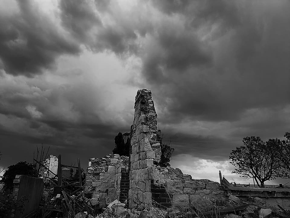
Meckering Earthquake Farm Ruins
Location: 2km north of Meckering, turn off Meckering to Goomalling Road.
The Meckering Earthquake registered 6.9 on the Richter scale, crushing many of the town’s buildings and residential properties. ‘Salisbury’ – an old stone homestead built in 1904 – was flattened during the quake and the ruins give an eerie insight into the scale of the devastation experienced by the town.